
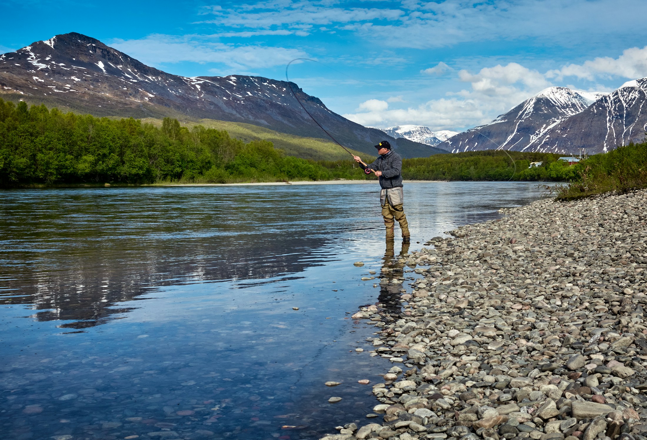
LESS GUESSWORK. MORE WATER.
Find your water.
Fish it with confidence.
Live conditions, fishing forecasts, access and local knowledge.
All in your pocket.
THE WATER IS CALLING
A few places to get lost.
64,201 mapped waters and access locations across all 50 states.
Loading the water guide…
Location photos where verified; satellite imagery otherwise. Confirm current access and regulations before you go.
FOLLOW YOUR KIND OF ADVENTURE
There’s more than one way to fish.
FROM THE FIRST CAST TO THE LAST LIGHT
Meet your new
fishing buddy.
The river guide that goes with you. RVR OPS brings fishing scores, flows, forecasts, and water-specific guidance together on your iPhone.
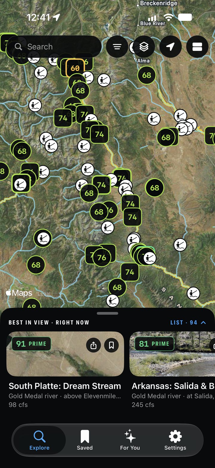 A better day on the water.
Find your water.
Search for a river, lake, town, or access point. Get a feel for the water before you make the drive.
Make a short list.
Save the places that catch your eye. Log in to keep your website favorites with your RVR OPS account.
Go a little prepared.
Check nearby gauges and official rules. Take the iPhone app along for deeper guidance.
NEW WATER. NEW STORIES.
Where will you cast next?
Start with a state.
See where the river takes you.