Roy Luck · CC BY 2.0 · Wikimedia Commons
Colorado
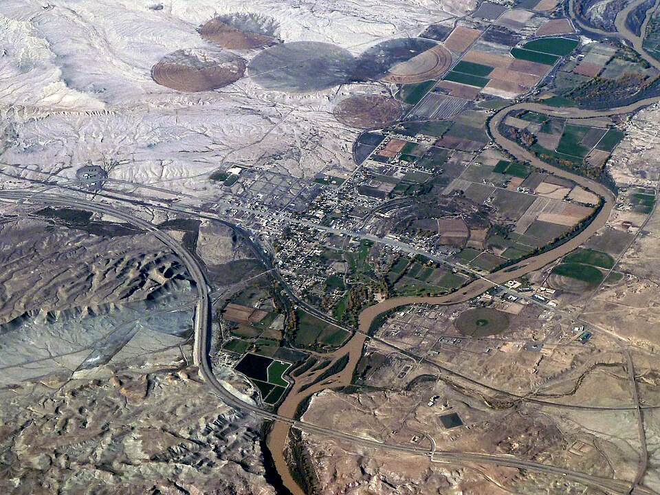
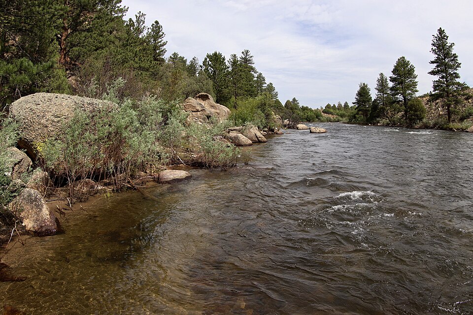
Arkansas: Leadville to Buena Vista
Upper freestone reach with pocket water and plenty of public access. Mostly browns that eat attractor dries all summer.
 RVR OPS
THE FULL RVR OPS WATER GUIDE
Discover 66,612 fishing locations across all 50 states, with lakes, rivers, public access references and official sources.
Roy Luck · CC BY 2.0 · Wikimedia Commons
Colorado
Upper freestone reach with pocket water and plenty of public access. Mostly browns that eat attractor dries all summer.
Colorado
Meadow water between Spinney and Eleven Mile reservoirs, known for large migratory fish in spring and fall. Open, windy and heavily fished.
Colorado
Gold Medal tailwater below Ruedi Reservoir with a famous green drake hatch and year-round dry fly fishing. Public and private water are mixed; watch the signs.
Montana
The fifty-mile riffle from Quake Lake to Ennis, then the lower river through Bear Trap Canyon. Classic salmonfly water in late June and reliable dry-dropper fishing all summer.
Bobak Ha'Eri · CC BY 3.0 · Wikimedia Commons
Utah
Clear tailwater through Red Canyon with one of the densest trout populations in the West. A, B and C sections, floated or walked on the river trail.
Jeffrey Beall · CC BY 4.0 · Wikimedia Commons
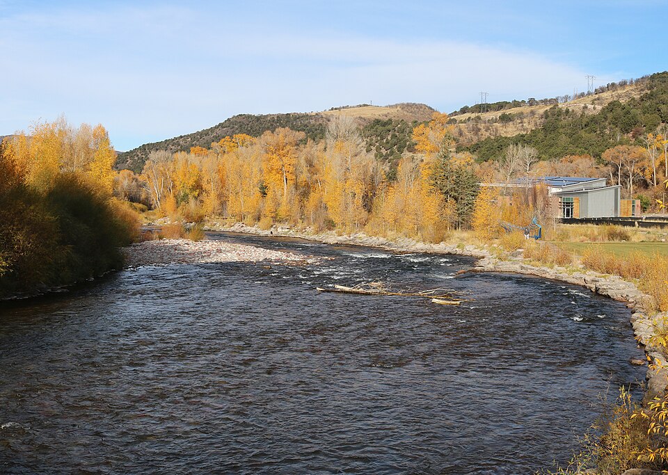
Colorado
Gold Medal from Basalt to Glenwood Springs. Wade the upper river, float the lower. Flows vary a lot between Aspen and Glenwood, so read the nearest gauge.
Idaho
Box Canyon's fast pocket water, the famously difficult flats of Harriman Ranch, and bigger water below Ashton. One of the great dry-fly rivers anywhere.
Joe Tordiff · CC BY-SA 2.0 · Wikimedia Commons
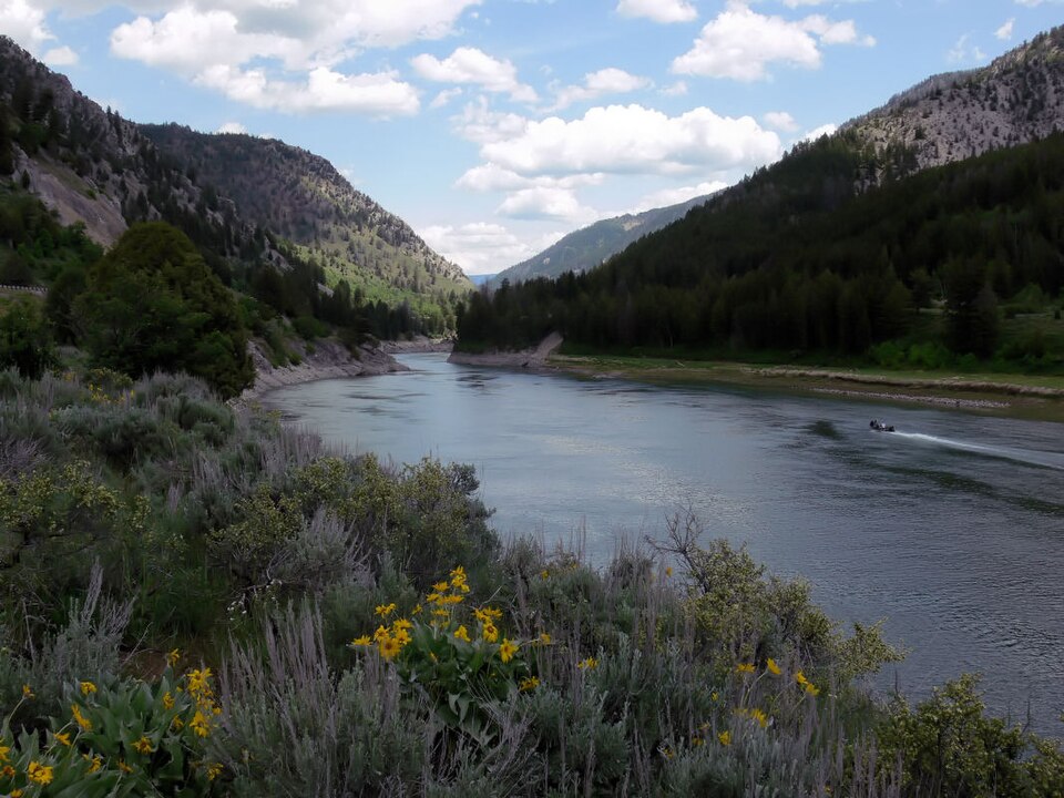
Wyoming
Braided river under the Tetons with native fine-spotted cutthroat that eat big dry flies. Fishes after runoff, from mid-July.
Clyde frogg · CC BY-SA 3.0 · Wikimedia Commons
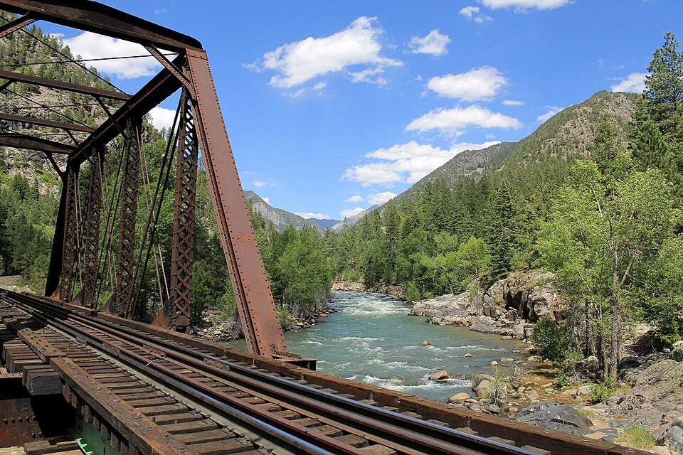
Colorado
Gold Medal water right through Durango with easy trail access. Big river; best before and after runoff.
Maplemoths · CC BY 4.0 · Wikimedia Commons
Colorado
Low-elevation tailwater through Pueblo that fishes best in winter when the high country is frozen.
Ken Lund from Reno, Nevada, USA · CC BY-SA 2.0 · Wikimedia Commons
Colorado
Over 100 miles of Gold Medal water with extensive public access along US 50. Famous for the spring caddis hatch moving upstream from Canon City.
Jeffrey Beall · CC BY-SA 3.0 · Wikimedia Commons
Colorado
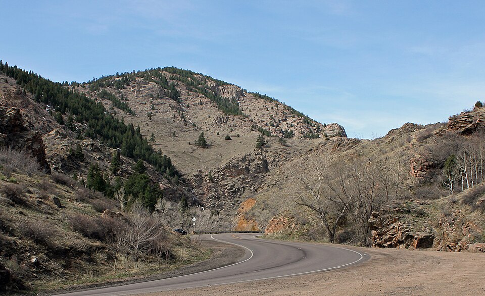
Small Front Range creek between Evergreen and Morrison with park access.
Montana
Narrow, brushy tailwater below Clark Canyon Dam that grows very large brown trout. Best from a boat with a guide who knows it.
Montana
Undammed river known for its June salmonfly hatch and the last river-dwelling grayling in the lower 48. Drops low and warm in late summer; watch for restrictions.
Idaho
Tailwater below Mackay Reservoir with strong rainbows and winter fishing when little else is open.
Colorado
Tailwater below Lake Estes with a catch-and-release section and roadside access down the canyon. Fishes all winter.
Idaho
Freestone through Ketchum and Hailey with easy access. Good after runoff and through fall.
Montana
Cold, clear tailwater below Yellowtail Dam. Thirteen miles of heavily fished water with dependable midge, baetis and PMD hatches.
Montana
Gentle valley river south of Missoula, famous for the March skwala stonefly hatch and long dry-fly seasons.
Montana
The river of the book and film: canyon water east of Missoula with strong salmonfly and golden stone hatches after runoff.
Texas
Small limestone river near Wimberley with a state park in Blanco. Often very low in summer.
Colorado
Tailwater through town below Dillon Dam. Mysis shrimp-fed fish that are large and selective. Flies and lures only, catch-and-release.
Colorado
Short canyon below Green Mountain Reservoir with limited public access; much of the lower river is private or float-only.
Idaho
Tailwater through the city below Lucky Peak, with trout in town and the wilder South Fork canyon upstream.
RVR OPS FOR IPHONE
Live flows. Fishing forecasts. Access and local knowledge, together on your iPhone. Make a plan before the first cast.