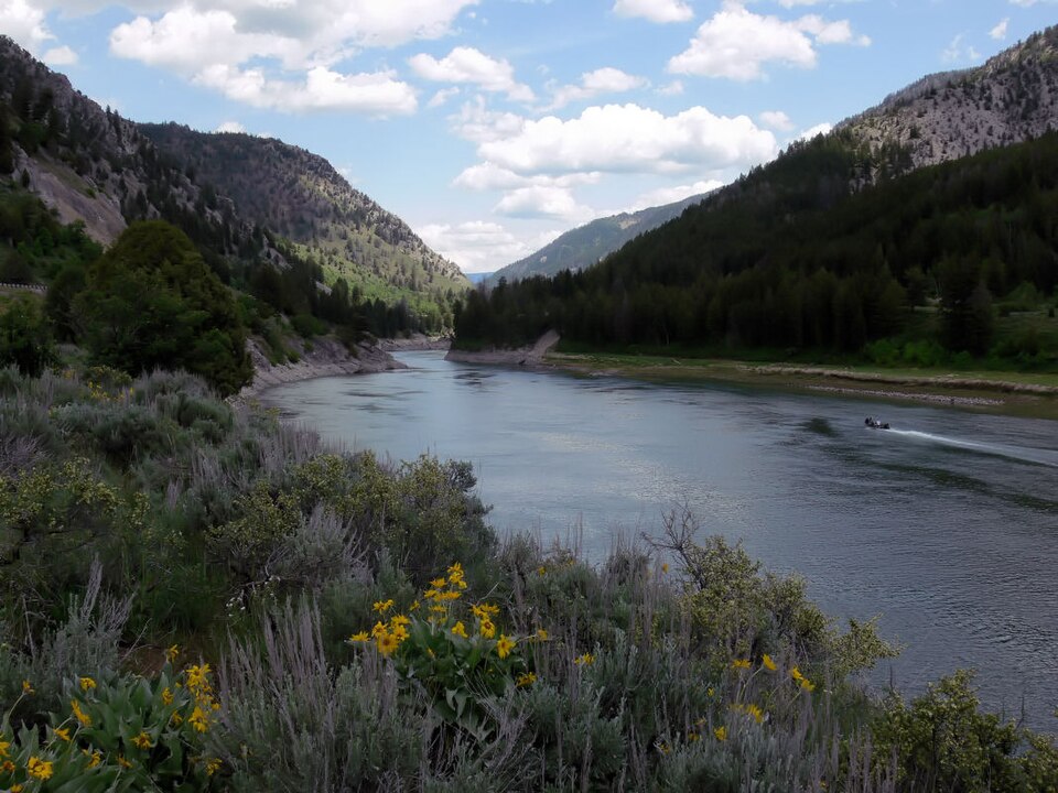
Joe Tordiff · CC BY-SA 2.0 · Wikimedia Commons
Wyoming
Snake River: Jackson Hole
Braided river under the Tetons with native fine-spotted cutthroat that eat big dry flies. Fishes after runoff, from mid-July.
 RVR OPS
THE FULL RVR OPS WATER GUIDE
Discover 1,466 fishing locations in Wyoming, with lakes, rivers, public access references and official sources.
Joe Tordiff · CC BY-SA 2.0 · Wikimedia Commons
Wyoming
Braided river under the Tetons with native fine-spotted cutthroat that eat big dry flies. Fishes after runoff, from mid-July.
Wyoming
Tailwater through open sagebrush country and Seedskadee refuge, holding large browns. Wind is the main obstacle.
Wyoming
Two tailwaters between reservoirs west of Casper, known for large rainbows and heavy spring and fall fishing. Flows change with irrigation demand.
Wyoming
Tailwater through Cody below Buffalo Bill Reservoir, fishable most of the year.
Wyoming
Below Boysen Dam the canyon lies on the Wind River Reservation and needs a tribal permit; public water begins at the Wedding of the Waters, where it becomes the Bighorn.
Wyoming
Named river geometry from the same national river layer used by RVR OPS. This identifies the water, not permission to fish or cross private property.
Wyoming
Lake / reservoir mapped in Wyoming. Explore its location, nearby access and available agency information.
Wyoming
Named river geometry from the same national river layer used by RVR OPS. This identifies the water, not permission to fish or cross private property.
Wyoming
Named river geometry from the same national river layer used by RVR OPS. This identifies the water, not permission to fish or cross private property.
Wyoming
Lake / reservoir mapped in Wyoming. Explore its location, nearby access and available agency information.
Lincoln County
Wyoming Game & Fish Public Access Area · Parking, Viewing Station · Open year round
Albany County
Wyoming Game & Fish Public Access Area · Handicap Accessible Comfort Station, Boat Ramp · Open year-round
Wyoming
Named river geometry from the same national river layer used by RVR OPS. This identifies the water, not permission to fish or cross private property.
Wyoming
Named river geometry from the same national river layer used by RVR OPS. This identifies the water, not permission to fish or cross private property.
Wyoming
Lake / reservoir mapped in Wyoming. Explore its location, nearby access and available agency information.
RVR OPS FOR IPHONE
Live flows. Fishing forecasts. Access and local knowledge, together on your iPhone. Make a plan before the first cast.