
LOCAL WATER. NEW POSSIBILITIES.
Fishing spots near Carbondale, Colorado
Explore 78 mapped fishing locations within 30 miles of Carbondale, Colorado. Find rivers, lakes and agency-listed access points with RVR OPS.
Explore nearby fishing spots
78 locations · nearest first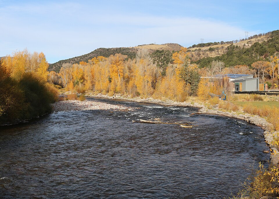
Jeffrey Beall · CC BY 4.0 · Wikimedia Commons
Colorado · 5.9 mi away
Roaring Fork River
Gold Medal from Basalt to Glenwood Springs. Wade the upper river, float the lower. Flows vary a lot between Aspen and Glenwood, so read the nearest gauge.
Colorado · 6.7 mi away
Cattle Creek
Named river geometry from the same national river layer used by RVR OPS. This identifies the water, not permission to fish or cross private property.
Colorado · 7.8 mi away
North Thompson Creek
Named river geometry from the same national river layer used by RVR OPS. This identifies the water, not permission to fish or cross private property.
Colorado · 10.6 mi away
Crystal River
Undammed tributary of the Roaring Fork. Clears later than its neighbors after runoff and muddies quickly in rain.
Colorado · 13.4 mi away
Roaring Fork River
Named river geometry from the same national river layer used by RVR OPS. This identifies the water, not permission to fish or cross private property.
Colorado · 13.5 mi away
Crystal River
Named river geometry from the same national river layer used by RVR OPS. This identifies the water, not permission to fish or cross private property.
Colorado · 14.2 mi away
Capitol Creek
Named river geometry from the same national river layer used by RVR OPS. This identifies the water, not permission to fish or cross private property.
Colorado · 14.2 mi away
Avalanche Creek
Named river geometry from the same national river layer used by RVR OPS. This identifies the water, not permission to fish or cross private property.
Colorado · 15.0 mi away
Baldy Creek
Named river geometry from the same national river layer used by RVR OPS. This identifies the water, not permission to fish or cross private property.
Colorado · 15.1 mi away
East Divide Creek
Named river geometry from the same national river layer used by RVR OPS. This identifies the water, not permission to fish or cross private property.
Colorado · 16.3 mi away
Colorado: Glenwood Canyon to Rifle
Big water, best from a boat. Fishes well in winter and again after runoff.
Colorado · 17.7 mi away
Snowmass Creek
Named river geometry from the same national river layer used by RVR OPS. This identifies the water, not permission to fish or cross private property.
Colorado · 18.1 mi away
West Divide Creek
Named river geometry from the same national river layer used by RVR OPS. This identifies the water, not permission to fish or cross private property.
Fishing near Carbondale: a few things to know.
Where should I start looking for fishing spots near Carbondale?
The closest mapped locations include Roaring Fork River, Roaring Fork River, Cattle Creek. Results are ordered by straight-line distance from the town center, not by catch ratings.
How do I find public fishing access?
Choose the Access points filter. The catalog contains 24 agency-listed access references in this area. Read each listing’s notes and check the operator before traveling; a river or lake marker alone does not establish public access.
Where can I check current fishing rules?
Use the official Colorado fishing source. Local exceptions, closures, license requirements and private-property boundaries may apply.